Road Stream Crossing Site B-012
Betsie River Watershed, Little Betsie River
Nessen Rd
Colfax Twp,
Benzie County
Information collected by:
GPS Coordinates: 44.53318435
, -85.87838376
T25N
R13W
Sec 28
Adjacent Land Owned by Private
Severity: Moderate
Cost: $606,000.00
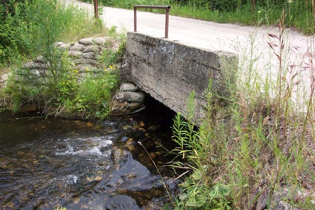
Site Location
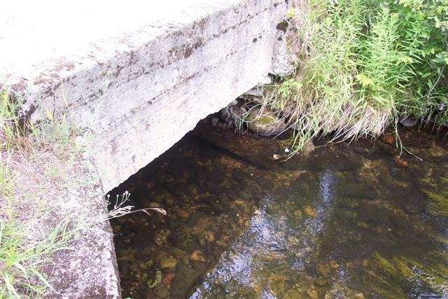
Inlet
Outlet
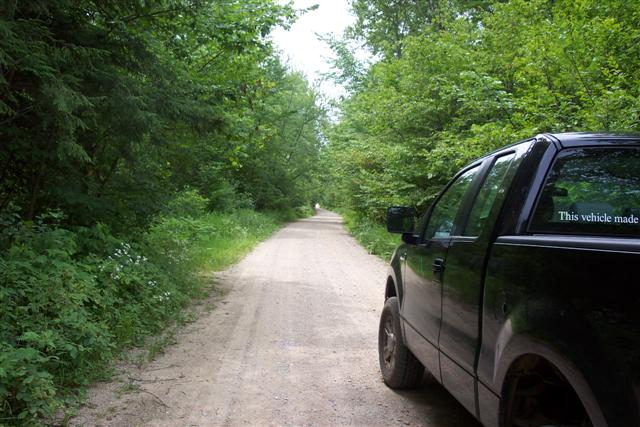
Road Approach - Left
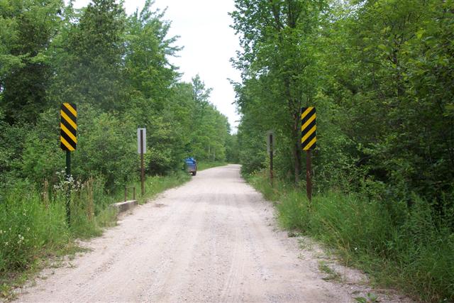
Road Approach - Right
Crossing Information
Road Width at Culvert: 14 ft.
Road Surface: Gravel
Maintenance: seasonal
Low Point: 50 feet on either side of bridge center
Existing Drainage Control? yes
Any Failings? yes
Type of Crossing: Bridge
Is this crossing constricted? no
Are there adjacent wetlands? yes
Approaches
Left Approach
Length: 500 ft.
Slope: 1-5%
Vegetation: heavy
Right Approach
Length: 200 ft.
Slope: 1-5%
Vegetation: heavy
Culvert Information
Flow: clear
Embankments
Upstream
Fill Depth: 0 ft.
Embankment Slope: 1.5:1
Downstream
Fill Depth: 0 ft.
Embankment Slope: 1.5:1
Stream Information
Upstream
Stream Width: 20 ft.
Stream Depth: 1 in.
Stream Current: slow
Stream Substrate: sand
Downstream
Stream Width: 25 ft.
Stream Depth: 2 in.
Stream Current: moderate
Stream Substrate: sand
Erosion Information
Conditions
Is there Streambank erosion beside the crossing? no
Is there embankment erosion? yes
Is there erosion at the culvert outlet? no
Is there erosion at the shoulder and/or ditch? yes
Is there pooling at the outlet? no
Is there sand over the crossing? yes
Cause of Erosion: High recreational use, old structure.
Recommended Treatments
Action Recommended? no
Add pavement? yes
Add paved raised edge? no
Number of erosion control structures: 0
Number of sediment basins: 0
Number of diversion outlets: 2
Increase fill? yes
Replace culvert(s)? no
Dimensions of replacement: 0
Extend culvert(s)? no
Lineal feet to extend: 0
Other Treatments: Replace bridge, regrade to move low points. Pavement cost includes sites B-12, B-13 and B-14.
Severity:Moderate
This page last updated on 2/9/2022.
�